Century-old tunnels hide a secret beneath the city.
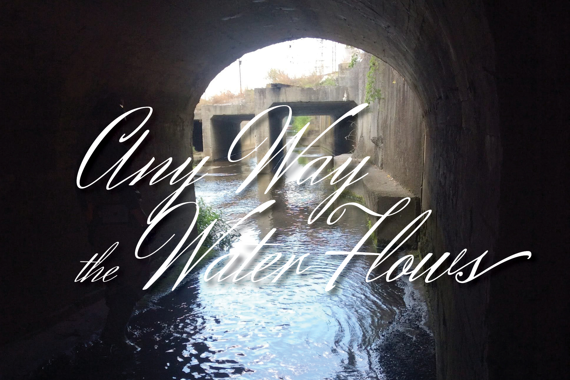
Written by Lindsey Hull / Photos Courtesy of City of Roanoke. Photo above: Tunnels at Trout Run egress
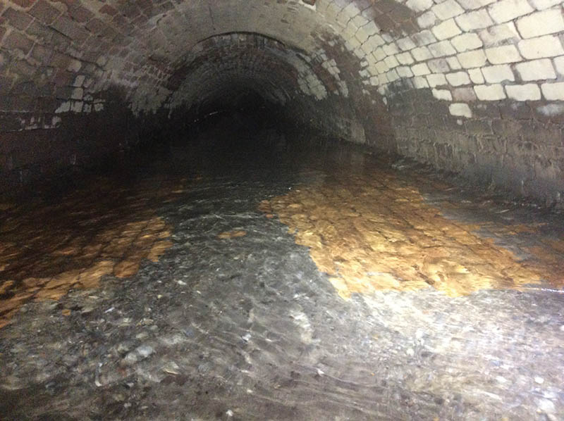
For 135 years, a labyrinth of tunnels has existed underneath downtown Roanoke, many of them tall enough for an average person to walk through and wide enough to drive a small car.

There are few public access points. Those that do exist are often narrow and difficult to navigate, said McKenzie Brocker, City of Roanoke water quality administrator.
“It’s just kind of dark and sandy and wet,” she said. “Lots of spiders, spiderwebs. But no scary monsters or anything.” It sounds more romantic than it is.
The people who are known to have explored these tunnels in recent years have done so with great care, equipped with respirators, above-ground support teams, lights and backup lights, and loads of safety gear with the training to use it. They probably wore rain boots.
Once known as Cedar Run, and now Trout Run, the tunnels hide a natural creek—one that has been “more of a nuisance than a benefit to Roanoke,” wrote Roanoke World-News reporter Raymond Barnes in 1966.
In the 1800s, Trout Run became a breeding ground for pests and vermin, pestilence, and disease, ripening with sewage so rank that the only solution was to bury it beneath the city.
Before the city was called Roanoke, before the land was called Big Lick, before even the old salty marshes were called Old Lick and Long Lick, there was that creek. It was “a good sized creek,” said former City of Roanoke Mayor Henry S. Trout in 1913, according to the Roanoke World-News.
Where you have a marsh, you have mosquitoes, which bring disease. Doctors fought off fevers: Big Lick fever. Bilious fever. Smallpox. Malaria.
In 1882, the railroad built their lines north of present-day Norfolk Avenue, according to the City of Roanoke’s Trout Run watershed master plan. Hotel Roanoke was built. Businesses sprung up along Norfolk Avenue. Roanoke was booming on either side of Trout Run, on either side of the marsh.
The city was said to be encumbered by a fever so malignant that nobody survived it. “This is a phantom. Just a traditional monster that should be killed,” Col. S.S. Brook, Roanoke Leader editor, wrote in response.
Afraid of falling ill, train passengers would not roll by with their windows open to the wind, Barnes reported.
Workers pouring into town slept outside, he wrote. Privies sprung up on the creekbanks or across the creek itself. Multiple families had to share homes due to overcrowding. Wastewater was tossed out on the ground or into the street. Mud holes and frog ponds peppered the roads, according to environmental researcher Joel A. Tarr’s 1977 report for the National Science Foundation.
The stench and the swarms of flies were unbearable. During the summer, people walked around with their hands covering their noses to avoid inhaling small flies clouding over the creek. At that point, the waterway was essentially an open sewer.
People kept dying.
Public health became a hot topic in the late nineteenth century as the sanitation revolution took hold. Doctors believed filthy air brought on sickness.
Workmen channelized Trout Run by hand with the help of mules, horses, and carriages. Buildings were raised to the height of the new roadbed, 6 to 8 feet above the water. Uniform brick walls held the creek in a wide trough, through which Trout Run still flows.
And still, Trout Run was muddy and mosquito-ridden. Things fell in. A dog, a businessman. Water stood in the road. Citizens said to bury the channel, create tunnels.
On Campbell, workers secured wooden timbers over the channel. Along other stretches, they built brick archways which proved to be sturdier. Side streets saw the addition of smaller pipes to handle the tributaries. A system of tunnels emerged. That was 1887, Barnes wrote.
Not everyone was on board. To no avail, local businessman P.W. Oliver made it known that the Black community was not in support of the proposal. “Water was what he wanted; streets were what they needed, and not some underground tunnel that would swallow up the whole sewer appropriation and only benefit one part of the city,” the newspaper reported.
By 1904, moisture had degraded the tunnel’s wooden roof. Already, it had to be replaced; the design must be sturdy enough to support the new streetcar. The solution? Concrete.
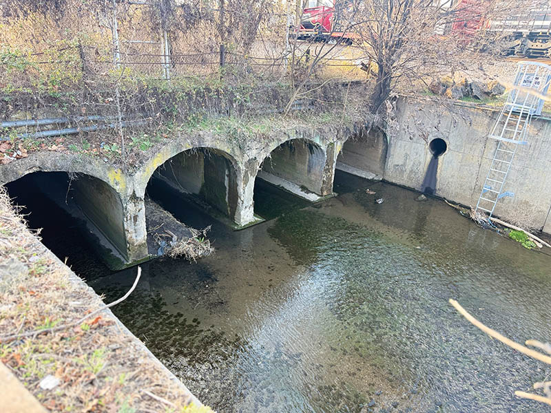
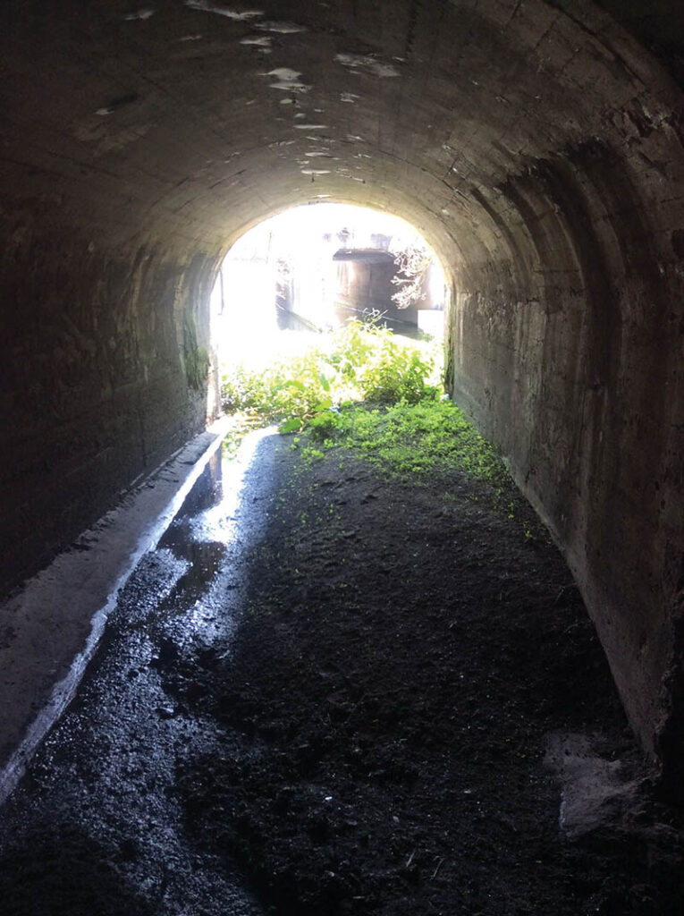
Trout Run comes to an end along Campbell Avenue SE, where it combines with the channelized Lick Run. Four archways open into a channel near the East End shops and the railroad tracks—two arches for Trout Run, two for Lick Run.
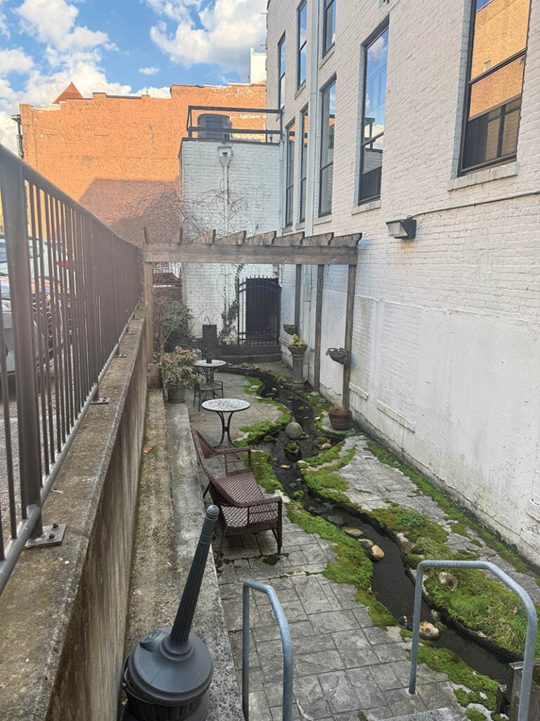
This is one of three places where Trout Run remains open to the air, according to Brocker. Nearly 100 years ago, the creek was incorporated into landscaping behind the Ponce de Leon building. There, the water is narrow and soothing, kept tidy as it trickles along a neat patio.
Farther northwest, Trout Run flows between 5th and 9th streets. At 5th Street, the creek travels through ivy-adorned concrete banks. Garbage bags and flagging tape adorn a curtain of brush and trees.
At 7th, robins flit about the creek, singing and splashing in the shallow water. There is less garbage, fewer weeds. One Valley, Inc’s Carver Community Garden occupies the lot adjacent to the creek. The space is filled with raised garden beds and rows to grow vegetables; the garden began in 2012 as a response to the community’s need for better food access.
Having “the stream … alongside the garden makes it a prime corridor for pollinators,” said former Virginia Tech environmental research scientist Gene Yagow, who serves as One Valley Inc. board secretary. Two blocks west, Yagow has seen fish in the creek.
Fish. When, out of a possible Virginia Stream Condition Index score of 100, a spring 2017 Trout Run sample taken from the 5th Street access point returned a score of 6.6, according to information provided by Brocker. Highly polluted. Over the past eight years, the average score has been 13.8. Brocker likes to see a minimum of 60.
“Nature finds a way,” Yagow said.
The Carver Community Garden is an outdoor laboratory, a classroom. In 2014, a group of students from Virginia Tech studied the feasibility of daylighting parts of the creek—that’s the process of returning a buried waterway to its natural, meandering form. The end consequences include a restoration of aquatic life, decreased pollution, and the reduction of downstream flooding. The students identified a stretch of Trout Run near the Shenandoah Avenue Coca-Cola bottling facility that would be most feasible for daylighting, but there were engineering hurdles.
As of now, the City of Roanoke’s stormwater department does not intend to daylight Trout Run, according to Brocker. There are plans to mitigate the creek’s problems and to maintain the tunnels’ structural integrity.
“It’s tough because Trout Run’s so urban anyway,” Brocker said. “We’re trying to understand: What exactly is the system like?”
Last winter, the public works department cracked open a section of 1st Street and Campbell Avenue in downtown Roanoke, exposing a portion of the original Trout Run tunnel. Astute pedestrians could see the layers of history: asphalt, concrete, wood planking, bricks, running water.
The goal was to check out the infrastructure, but also to improve the system’s capacity. It’s a long-term project which is just beginning—it will last a decade or more, but it must be done.
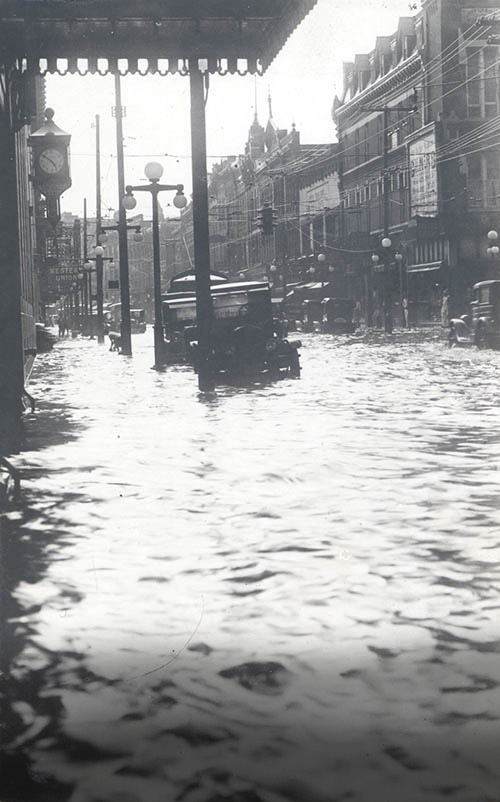
Whenever downtown floods, a buried creek’s been rising.
The story above first appeared in our May/June 2026 issue.